Home / Work / Mini Map
Land plots
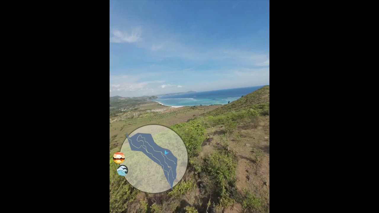
A short aerial orientation so the plot reads as a place, not a pin.
Mini Map is a compact FPV pass for orientation: where the plot sits, how it opens, and what surrounds it.
It is the kind of piece that belongs next to a plan, not instead of one.
FPV Tour
If this is the kind of problem you have, tell us what is blocking the yes.