Who it is for
- Land and development projects that cannot be judged from a gate photo.
- Resorts and villas that need the approach and the layout understood in one pass.
Problems it solves
- Buyers cannot tell how the site sits, how you enter it, or what the rooms actually connect to.
- A pretty aerial that does not help anyone decide.
Scope
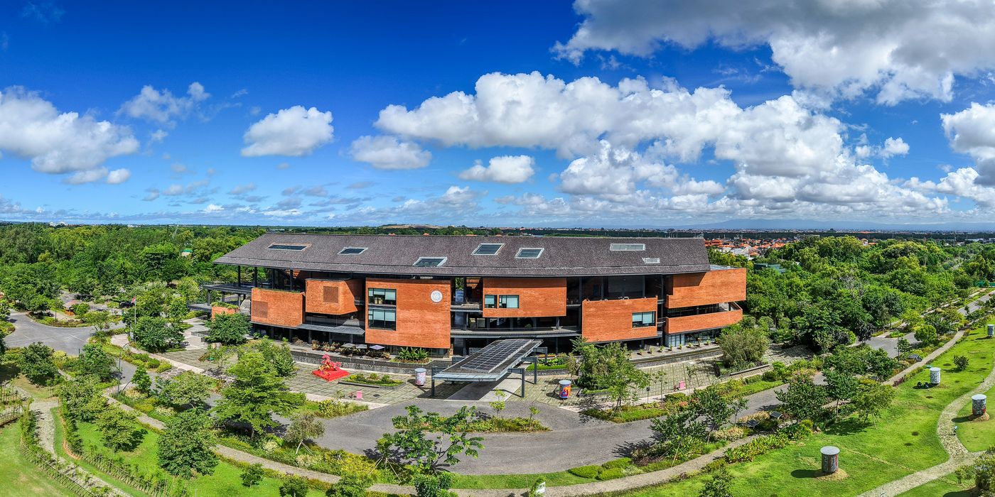
- Aerial establishing shots
- FPV walkthroughs and spatial tours
- Landscape and architecture from the air
- Cuts that can live on a page, in a tour, or as short-form
Not included
- Stunts for their own sake. FPV is a storytelling tool, not a gimmick.
- A flight with no plan for where the footage will sell.
Deliverables
- FPV walkthrough
- Aerial plates
- Short-form cuts from the same flight
Process
01
Flight plan
Path, height, and what the viewer must understand.
02
Capture
FPV and aerial in the same production window when we can.
03
Cut
A walkthrough someone can watch before they book a flight.
FAQs
FPV or a conventional drone?
Different jobs. FPV is for moving through space. A conventional drone is for establishing the site. Most launches need both. We wrote that up in Field Notes.
Do you fly in Thailand and Nusa Penida as well as Bali?
The selected work includes those places. We confirm permits and access before we fly.
Start a project
Tell us the commercial problem. We will say whether this layer is the one to start with.
Start a Project